Wingcopter 198
LiDAR
High-fidelity terrain and object intelligence across large areas in a single mission

Wingcopter 198
High-fidelity terrain and object intelligence across large areas in a single mission
Wide-area awareness & mission-critical detail
The Wingcopter 198 LiDAR delivers full-picture context and mission-critical detail from the same flight.
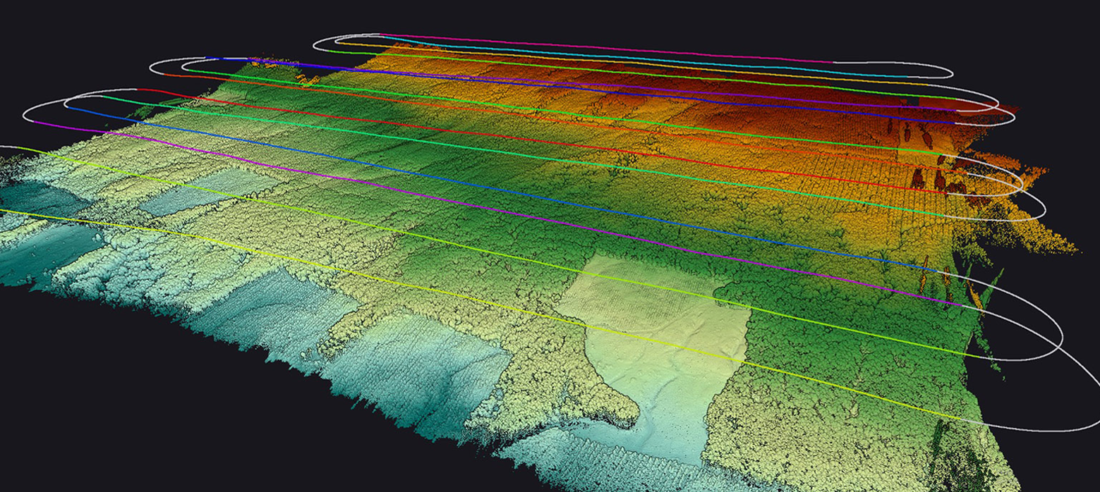
Cover more ground per mission
Rapidly capture high-fidelity LiDAR data across large operational areas. Scan 1,000 hectars - 1,400 soccer fields - in under 45 minutes in 3D at highest resolution.
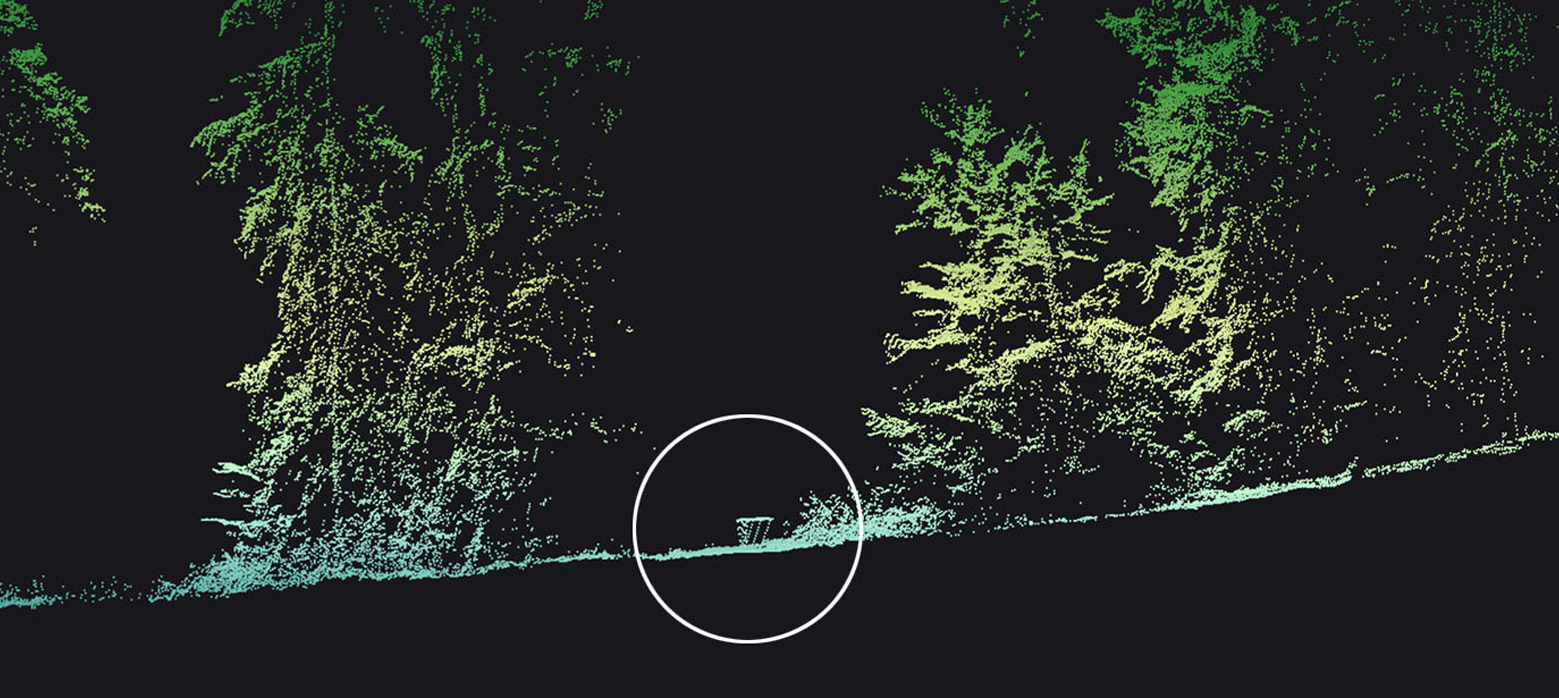
All data in a single flight
High-fidelity terrain and object intelligence across large areas in a single mission to support mission planning and to uncover otherwise invisible details.
Quick set-up and mobilization
The Wingcopter 198 is designed to reduce mobilization effort at every step.
• Snap‑in payload
• Automated pre-flight checks
• Dual hot-swap battery system
• From 20 % to full charge in 50 mins
Multi-mission LiDAR platform
| Dimensions | 198 cm x 152 cm x 65 cm |
|---|---|
| Take-off Weight | 25 kg |
| Payload | 4.7 kg |
| Range | 60 km |
| Speed | 25 m/s |
| Wind tolerance | 15 m/s |
| Single Flight Coverage | 1,000 ha |
| Sensor suite | Various sensor options |
| Typical Point Density | 570 pts/sq m |
|---|---|
| Sensor Accuracy | 10 mm |
| Sensor Precision | 5 mm |
Inspect.
Protect.
Deliver.
Contact
Contact: wsd@wingcopter.com
Legal
Follow Us

© Wingcopter 2026
You need to load content from hCaptcha to submit the form. Please note that doing so will share data with third-party providers.
More InformationYou need to load content from reCAPTCHA to submit the form. Please note that doing so will share data with third-party providers.
More InformationYou need to load content from reCAPTCHA to submit the form. Please note that doing so will share data with third-party providers.
More InformationYou need to load content from reCAPTCHA to submit the form. Please note that doing so will share data with third-party providers.
More InformationYou need to load content from Turnstile to submit the form. Please note that doing so will share data with third-party providers.
More InformationYou are currently viewing a placeholder content from reCAPTCHA. To access the actual content, click the button below. Please note that doing so will share data with third-party providers.
More Information